Among the most widely applied field methods in groundwater exploration, electrical resistivity surveys stand out for their cost-effectiveness, accuracy, and adaptability to varied terrains. In Kenya, where subsurface geology ranges from volcanic and metamorphic terrains to sedimentary basins and fractured basement rock, electrical resistivity techniques are essential tools in locating aquifers and estimating their depth, thickness, and extent. These surveys significantly increase the success rate of borehole drilling, especially in regions with limited or complex hydrogeological data.
This article delves into the methodology, equipment, advantages, limitations, and practical application of electrical resistivity surveys in Kenyan hydrogeological investigations.
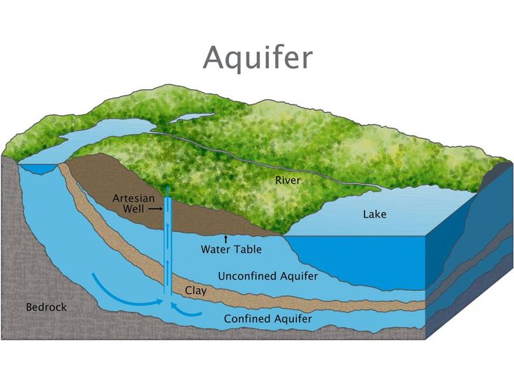
What is Electrical Resistivity?
Electrical resistivity is a geophysical method that measures the resistance of subsurface materials to the flow of electrical current. Different earth materials have different resistivity values:
-
Dry rocks and consolidated materials have high resistivity.
-
Water-bearing formations, especially those saturated with mineral-rich water, have low resistivity.
By mapping resistivity variations, geophysicists can infer the location and geometry of aquifers, clay layers, faults, and bedrock.
Why Use Electrical Resistivity in Kenya?
Kenya presents a diverse geological profile that includes:
-
Fractured basement terrains in Eastern and Central Kenya.
-
Volcanic aquifers in the Rift Valley.
-
Sedimentary formations in Western Kenya and coastal regions.
In these settings, electrical resistivity helps:
-
Distinguish between water-saturated zones and dry rock.
-
Identify the depth to water-bearing strata.
-
Avoid drilling into saline or non-productive zones.
Electrical resistivity is particularly effective in rural, arid, and semi-arid lands (ASALs), where water scarcity is severe, and drilling costs are high.
Types of Electrical Resistivity Surveys
1. Vertical Electrical Sounding (VES)
-
Used to investigate changes in resistivity with depth.
-
Electrode spacing is gradually increased, penetrating deeper layers.
-
Ideal for determining the depth and thickness of aquifers.
2. Electrical Resistivity Imaging (ERI) or Tomography
-
Generates 2D or 3D images of subsurface resistivity.
-
Provides detailed horizontal and vertical information.
-
Useful in complex geological areas with lateral variations.
3. Profiling
-
Conducted with constant electrode spacing.
-
Helps detect lateral changes and map faults or geological boundaries.
Equipment Used
A typical electrical resistivity survey setup includes:
-
Resistivity meter (terrameter): Measures potential difference and current.
-
Electrodes (stainless steel stakes): Inject current and measure voltage.
-
Cables and reels: Connect electrodes to the resistivity meter.
-
Batteries or generators: Power source for field measurements.
-
GPS device: For location mapping and integration with GIS data.
Common models used in Kenya include ABEM Terrameter SAS 1000/4000, PASI, and Allied Geophysical Instruments.
Field Methodology
Step 1: Site Reconnaissance
Preliminary checks are done to identify accessible, safe, and disturbance-free survey lines. Desk study and remote sensing data often inform this step.
Step 2: Electrode Layout
Electrodes are inserted into the ground in a linear array, such as Schlumberger or Wenner configurations. The Schlumberger array is widely used in Kenya for VES due to its efficiency and depth penetration.
Step 3: Data Acquisition
Current is injected into the ground through outer electrodes, and voltage is measured between inner electrodes. The resistivity meter calculates apparent resistivity.
Step 4: Data Interpretation
Field data are processed and modeled using software such as IPI2Win, RES2DINV, or Geotomo to generate subsurface profiles. These models indicate zones of low or high resistivity, interpreted according to geological context.
Interpreting Resistivity Data
Understanding resistivity values in Kenya depends on the regional geology:
-
High resistivity (above 1000 ohm-m): Likely dry rock, compact granite, or basalt.
-
Moderate resistivity (100–1000 ohm-m): May indicate fractured rock or sandy aquifers.
-
Low resistivity (1–100 ohm-m): Typically clay layers or saline water zones.
Correlation with borehole logs, local knowledge, and hydrogeological maps enhances interpretation accuracy.
Case Study: Kiambu County
A resistivity survey in Kiambu was conducted to site a borehole for a peri-urban community. Using the Schlumberger array:
-
Depth penetration: 150 meters
-
Results showed a weathered layer at 20–30 m and a fractured zone at 70–100 m with moderate resistivity (300 ohm-m).
-
Borehole drilled at the indicated location yielded 4.2 m³/hour, suitable for domestic supply.
Without the resistivity survey, the borehole could have been drilled into unproductive zones, wasting resources.
Advantages of Electrical Resistivity Surveys
-
Non-invasive and environmentally friendly: No excavation or drilling required.
-
Cost-effective: Reduces risk of dry boreholes and minimizes exploratory drilling.
-
Depth penetration: Can investigate up to 200–300 meters with the right equipment.
-
Adaptability: Applicable in various terrains and hydrogeological settings.
-
Accuracy: Provides clear indications of aquifer thickness and depth.
Limitations and Challenges
-
Interpretation Complexity: Requires expert knowledge to avoid misinterpretation, especially in heterogeneous formations.
-
Access and Terrain: Rocky, hilly, or urbanized areas can limit electrode layout.
-
Electrical Noise: Proximity to power lines or metal fences can affect readings.
-
Water Quality: Cannot distinguish between fresh and saline water unless integrated with hydrochemical analysis.
Cost Considerations in Kenya
Electrical resistivity surveys in Kenya vary in cost depending on depth, equipment, and provider:
| Activity | Approximate Cost (KES) |
|---|---|
| VES Survey (per site) | 30,000 – 60,000 |
| 2D Resistivity Imaging (per line) | 50,000 – 150,000 |
| Interpretation and Reporting | 10,000 – 25,000 |
| Travel and Logistics | Variable (5,000 – 30,000) |
The investment often saves hundreds of thousands in avoided failed boreholes.
Regulatory Integration
The Water Resources Authority (WRA) in Kenya mandates a hydrogeological survey report, often requiring geophysical evidence, before issuing drilling permits. The electrical resistivity survey is a key component of the report, forming part of the justification for borehole location and expected yield.
Complementary Methods
Electrical resistivity surveys are often used in combination with:
-
Remote sensing (to identify lineaments and moisture zones)
-
Desk study data (to understand historical borehole performance)
-
Geological field mapping
-
Hydrochemical sampling (to confirm water quality after drilling)
This integrated approach increases drilling success rates and ensures long-term groundwater sustainability.
Conclusion
Electrical resistivity surveys have revolutionized hydrogeological investigations in Kenya, especially for borehole and well siting. Their ability to probe beneath the earth’s surface and reveal hidden aquifers provides invaluable guidance in groundwater development. As water stress intensifies due to climate change and population growth, tools like resistivity surveying will remain central to sustainable, science-based water resource planning.
Whether for domestic use, agriculture, or industrial supply, electrical resistivity surveys provide the insight and assurance needed to drill smarter, deeper, and more effectively.